Books for Development
 Epanet for Development
Table of Contents
Back in 2011, I was tasked with developing training materials for water engineers as part of a project where we were supporting the Government of Lesotho to design and implement over 250 rural water supply systems across the country. The training was to be focused on hydraulic modelling software, such as Epanet, for design of gravity-fed or pumped water supply schemes, integrated with geo-referenced CAD software.
As I was developing the training materials, I connected with Santiago Arnalich, a Spain-based water consultant and overall great guy. We quickly realized that we shared a common vision for the promotion of knowledge in water system design in the development sector. Santiago invited me to participate in his book project, through the “Arnalich Water and Habitat” publications. I gladly accepted and went on to complete editing work for three publications:
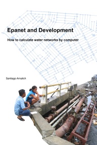
1. Epanet and Development
How to calculate water networks by computer
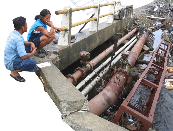
This manual aims at walking the reader through the design of a water supply network in a Development context by explaining in a simple manner how to build and analyze a computer model of a water network with Epanet.
Epanet is a free and widely used software from the U.S Environmental Protection Agency that models the hydraulic and water quality behavior of water distribution piping systems.
PDF file (now free) - Download
Printed copy (25$) - buy on Amazon
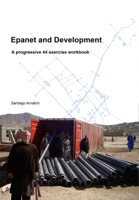
2. Epanet and Development
A progressive 44 exercise workbook
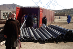
This collection of exercises has over 320 images designed to walk you step-by-step towards the modeling of water distribution systems which are commonly found in development work. You will learn how to load cartography and background images; to determine water demand and spatial allocation; to simulate the evolution of water quality in networks and to make economic comparisons, while avoiding the most common costly mistakes.
Printed copy (25$) - buy on Amazon
PDF file (10$) - buy on Gumroad
3. GPS & Google Earth for Development
How to create, share and collaborate with maps on the net
This book shows you how to use a GPS and Google Earth to create simple and expressive maps to share on the web like the one shown on the cover.
With a reading time of a mere 10 hours you will learn to work with a GPS without making mistakes, to use it with Google Earth including in areas without internet access and to quickly create diverse interactive maps that other people can see and modify over the internet without the need for experts or unnecessary complications.
Printed copy (25$) - buy on Amazon
PDF file (10$) - buy on Gumroad
If you would like to learn more about the books, or need other ways of accessing them, feel free to contact me!
Maxim Fortin
Water Resources Engineer
My professional interests include hydrological and hydraulic modeling, flood mapping and geospatial data analysis.
Publications
GPS and Google Earth for Development: How to create, share and collaborate with maps on the net