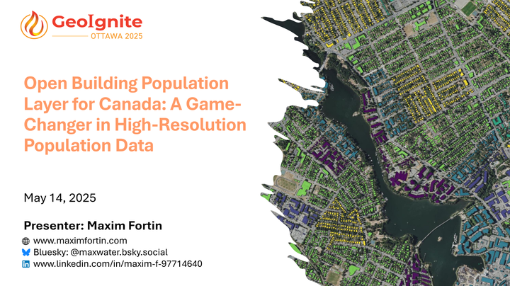
Open Building Population Layer for Canada: A Game-Changer in High-Resolution Population Data
 GeoIgnite 2025 Conference Presentation: Title Slide
Abstract
The Open Building Population Layer for Canada has emerged as a transformative resource in the geospatial community, providing access to population estimates at the building level across the country. Since its release, the dataset has garnered significant attention, reaching 8,000+ professionals on LinkedIn, and achieving thousands of downloads. This enthusiastic reception underscores its value for applications in urban planning, disaster management, and environmental assessments.

This presentation will showcase the latest advancements in the dataset, including:
- Integration of 2021 Canadian Census data for precise population estimates.
- Inclusion of satellite-derived building height data from Microsoft Bing’s 2023 release.
- Enhanced algorithms to address gaps in census data and improve accuracy.
- Availability of both building footprints and points datasets, complemented by interactive web maps for exploration and quality assurance.
Real-world use cases, such as flood risk assessments and transit planning, will illustrate the dataset’s impact. Attendees will also gain insights into the challenges of data quality, gaps in building coverage, and future enhancements, including land use integration and refined height estimates.
Join us to explore how this open-source initiative is revolutionizing population distribution data, empowering decision-makers, and fostering innovation across Canada’s geospatial landscape.
Note: The Open Building Population Layer is a personal open-source project by Maxim Fortin. It is not an official Government of Canada data source for building footprints or population distribution.