From Data to Action: FHIMP and the Future of Flood Risk Governance in Canada
Abstract
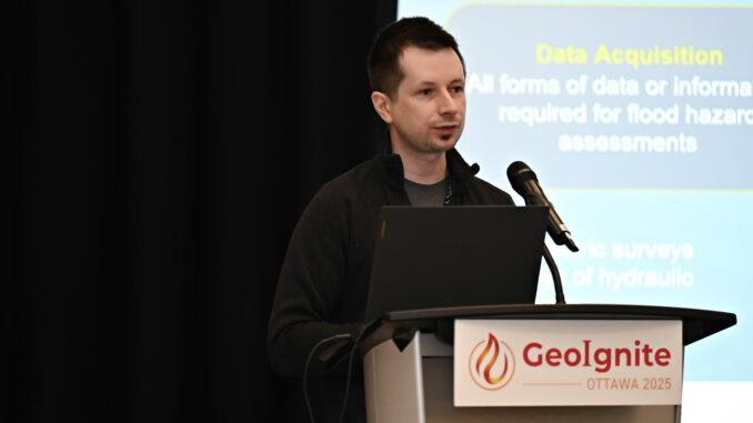
At GeoIgnite 2025, Maxim Fortin, Senior Engineer Advisor at Natural Resources Canada (NRCan), delivered a standout session on Canada’s evolving approach to flood hazard mapping. Representing the team behind the Flood Hazard Identification and Mapping Program (FHIMP), Fortin offered a detailed and forward-looking perspective on how Canada is scaling its flood mapping infrastructure to confront growing risks—from climate change and rapid urbanization to longstanding data gaps and outdated models.
From Data to Action: FHIMP and the Future of Flood Risk Governance in Canada
Written by: Kruti Mehta

At GeoIgnite 2025, Maxim Fortin, Senior Engineer Advisor at Natural Resources Canada (NRCan), delivered a standout session on Canada’s evolving approach to flood hazard mapping. Representing the team behind the Flood Hazard Identification and Mapping Program (FHIMP), Fortin offered a detailed and forward-looking perspective on how Canada is scaling its flood mapping infrastructure to confront growing risks—from climate change and rapid urbanization to longstanding data gaps and outdated models.

The Scale of the Problem — and the National Response
Fortin opened with a reminder that flooding is Canada’s most frequent and costly natural disaster, resulting in an estimated $3 billion annually in residential damages alone. Yet, many Canadians remain unaware that they live in flood-prone areas or that flood maps even exist for their communities. This challenge of both coverage and communication has become a central focus of the program.
He explained how the Canada Flood Map Inventory was developed as the first nationwide compilation of existing flood maps, drawing from efforts as far back as the 1970s. While significant progress has been made, many communities — particularly smaller or northern ones — still lack up-to-date or detailed maps. This patchy history has made the current initiative both ambitious and urgent.
FHIMP: Building a Coordinated, Multi-Level Strategy
Launched in 2021, the FHIMP aims to fill critical gaps in flood risk coverage across high-risk areas of Canada. Fortin outlined how the program, coordinated by NRCan’s Canada Centre for Mapping and Earth Observation (CCMEO), works closely with provincial, territorial, and Indigenous partners to identify priorities, co-fund projects, and deliver results. The program operates on a shared responsibility model, where funding, expertise, and implementation are distributed between federal and local authorities.
What was impressive was the program’s methodical structure — from data acquisition to hydrological/hydraulic modeling, climate scenario analysis, and map dissemination. While FHIMP stops short of risk mitigation infrastructure design, it covers nearly every foundational step necessary to build climate resilience through spatial intelligence.


Innovation in Flood Modeling: From Detail to Scale
Maxim highlighted a paradigm shift in flood modeling: moving away from a one-size-fits-all approach. Instead, Canada is investing in a multi-tiered mapping framework:
- Global models (lower resolution, high coverage)
- Regional models (moderate resolution for watersheds)
- Detailed engineering models (high resolution for urban or vulnerable zones)
This tiered strategy enables both broad planning and fine-grained decision-making, balancing resource efficiency with scientific rigor. It also addresses the practical need to keep maps updated as land use and climate conditions evolve.

Meaningful Engagement, Especially with Indigenous Communities
One of the most compelling aspects of Fortin’s talk was the integration of Indigenous traditional knowledge into flood mapping practices. Several projects are underway to ensure Indigenous perspectives, values, and data are not only considered but structurally embedded in national flood mapping efforts — a model for equitable and context-sensitive geospatial policy.
He also emphasized communication tools such as interactive web atlases, public engagement portals, and training resources. He cited examples like Nova Scotia’s treaty maps and Yukon’s flood atlas, which are helping bridge the gap between technical modeling and community awareness.
Data Foundations: Elevation, Lidar, and Open Access
From a technical standpoint, Maxim provided updates on Canada’s expanding Lidar acquisition strategy and the creation of national elevation mosaics (HRDEM and MRDEM) using both airborne and satellite-derived sources. These datasets serve as the backbone for flood modeling, infrastructure planning, and environmental monitoring.
I was particularly struck by how openly the government is sharing point cloud data and derivative products, a move that greatly empowers researchers, municipalities, and private sector developers working in the geospatial domain.
Key Takeaways
Maxim Fortin’s session provided a clear and compelling look at how modern flood risk governance is evolving in Canada. Through the Flood Hazard Identification and Mapping Program (FHIMP), Natural Resources Canada is integrating geospatial data, intergovernmental collaboration, and technical innovation to build a more coordinated national approach to flood preparedness. The program’s focus on multi-resolution modeling, transparent data frameworks, and meaningful Indigenous engagement reflects a broader shift toward inclusive, future-ready infrastructure. In an era of rising climate risks, FHIMP is positioning itself as a cornerstone of Canada’s resilience strategy.
Link to article: https://gogeomatics.ca/from-data-to-action-fhimp-and-the-future-of-flood-risk-governance-in-canada/
Maxim Fortin
Water Resources Engineer
My professional interests include hydrological and hydraulic modeling, flood mapping and geospatial data analysis.